A hiking break on the Tyrol’s largest high plateau

An unforgettable walking experience through the unspoilt natural beauty of the Tyrolean mountains.

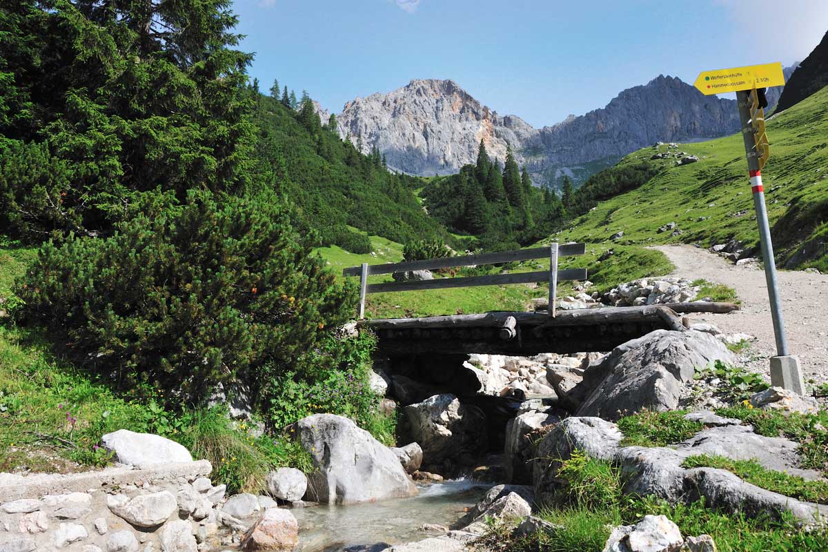
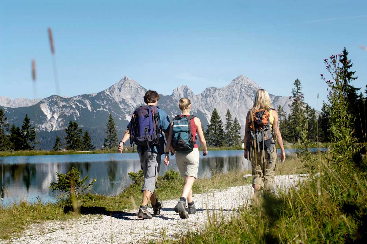
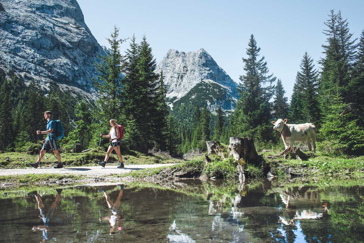
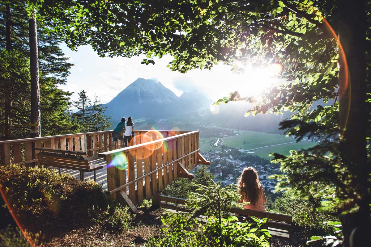
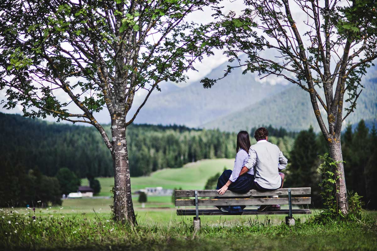
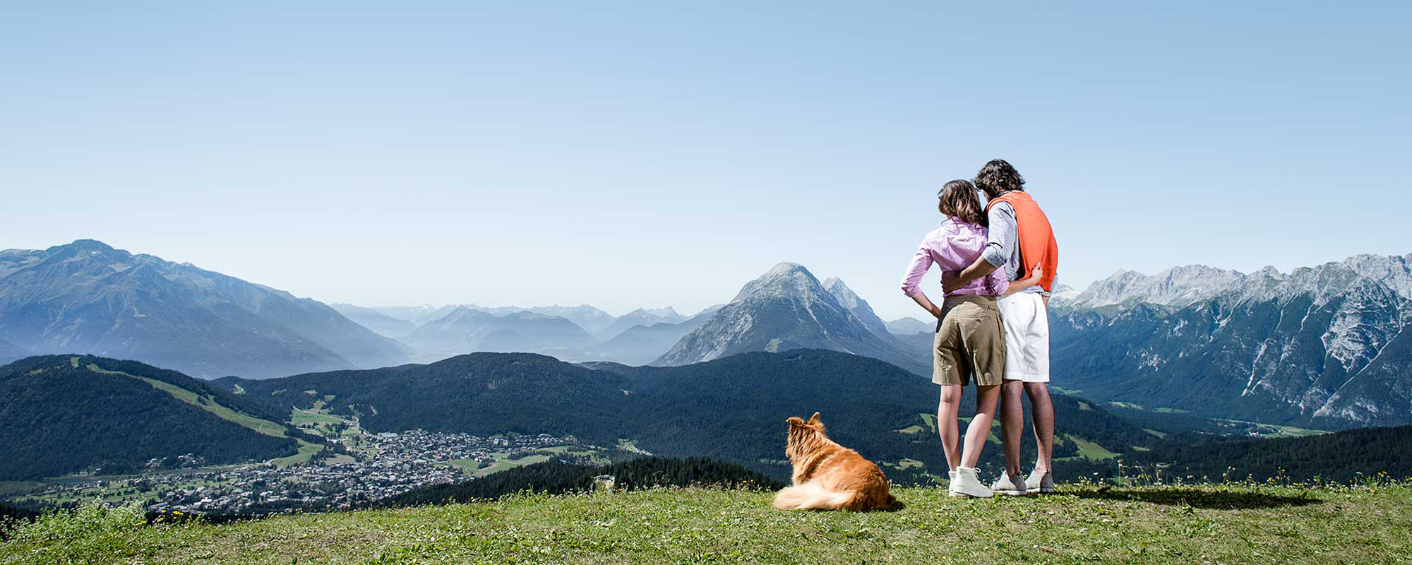
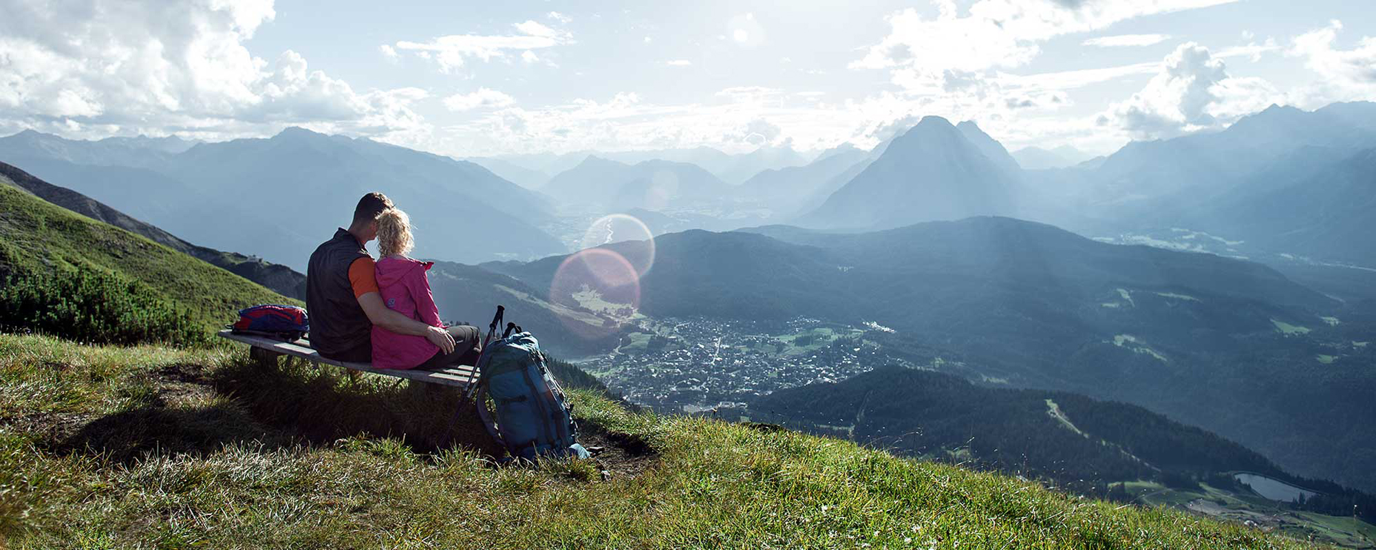
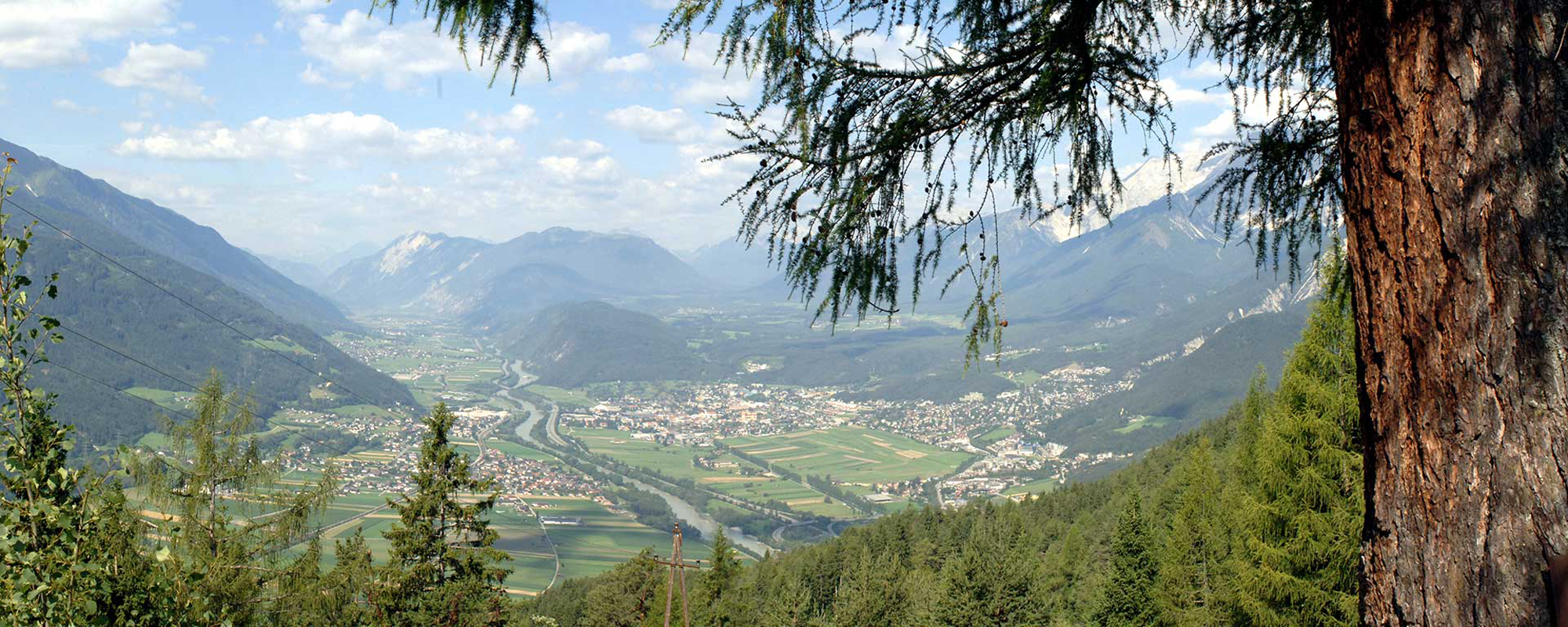
Its unique location alone makes the Region Seefeld a veritable hikers’ paradise. Nestling amidst the mountains of the Wetterstein range, the Alpenpark Karwendel nature reserve and the Wildmoos landscape conservation area, the south-facing high plateau offers the ideal ‘base camp’ for seasoned and aspiring mountain enthusiasts alike. With over 650 kilometres of marked walking, hiking and climbing routes covering all levels of difficulty and over 60 Alpine huts and farmhouses where walkers can stop for food and drink, the region has everything visitors need for unforgettable, close-to-nature experiences.

The Region Seefeld is located on a south-facing mountain plateau at an altitude of 1,200 metres.


Surrounded by the Karwendel Nature Park, the Wildmoos nature protection area, the majestic Wetterstein massif and Hohe Munde mountain. A holiday destination steeped in tradition, the Region Seefeld comprises five villages – Mösern-Buchen, Scharnitz, Reith, Leutasch and Seefeld – and offers a vast area for diverse walking, hiking and climbing tours amid a stunning, pristine natural landscape.

As a member of the elite „Best of the Alps“ alliance, the Region Seefeld boasts an excellent infrastructure, lifestyle, culture, an international clientele and superb gastronomic offerings. For more than 20 years now Seefeld has, along with 11 other select destinations in five Alpine countries, been acting as an ‘ambassador’ for the Alpine region.

Enjoy a hike along one of our numerous themed trails
  • Close-to-nature outdoor recreation in the Wildmoos nature protection area, Wetterstein mountain range and Karwendel Nature Park
  • Unique in the entire Alpine region - ‘Promenade Walks’ along wide, flat trails
  • 650 kilometres of walking, hiking and climbing routes for memorable mountain experiences
  • Free themed walks and adventure hikes for young and old
  • Interactive panoramic map with descriptions of all walking and hiking routes